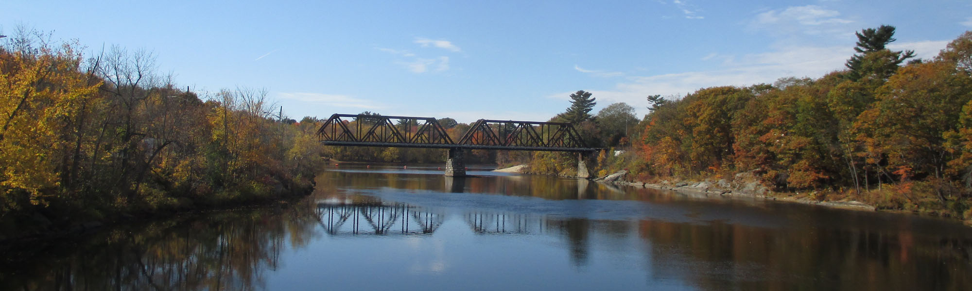
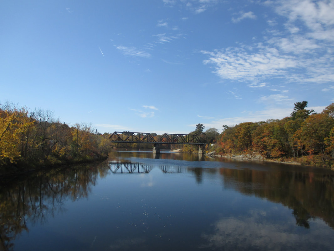
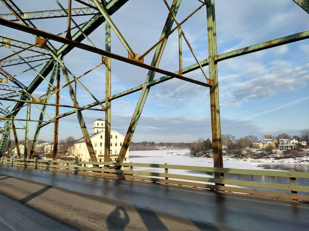
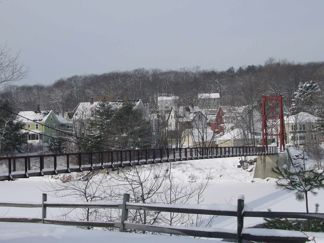
Railroad bridge - the "Black Bridge" - from the Androscoggin Swinging Bridge
|
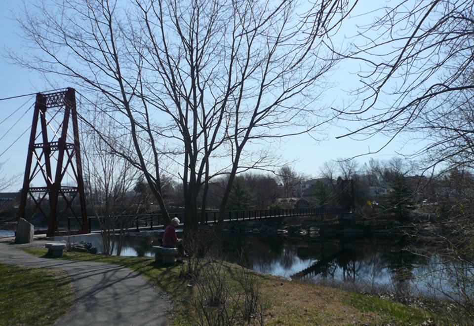
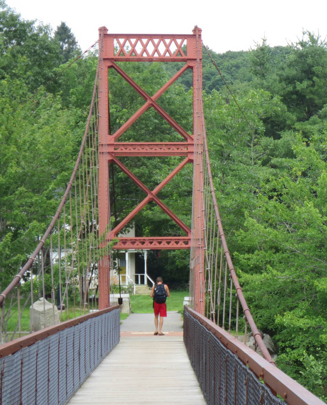
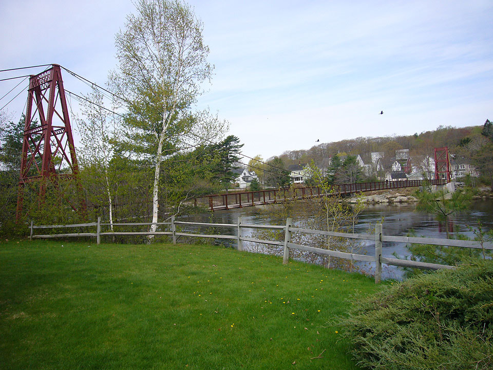
Although there are many points to access the Riverwalk (click here for map), this tour starts at the Brunswick end of the historic Androscoggin Swinging Bridge, designed and built in 1892 by John A. Roebling’s Sons, soon after they built New York’s Brooklyn Bridge. The bridge was constructed to bring residents from the Topsham Heights neighborhood to the Brunswick for work in the mills, school, shopping and church. It was rehabilitated in 2006 with funding from the Maine Department of Transportation and generous support from the Topsham-Brunswick community. |

Brunswick end of the Swinging Bridge
|
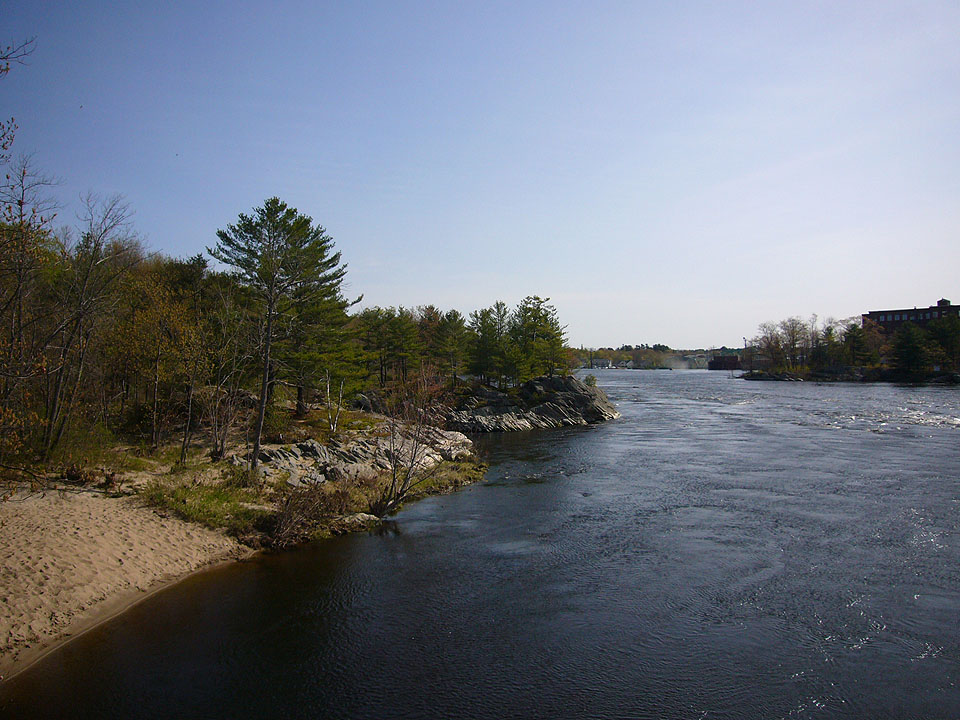
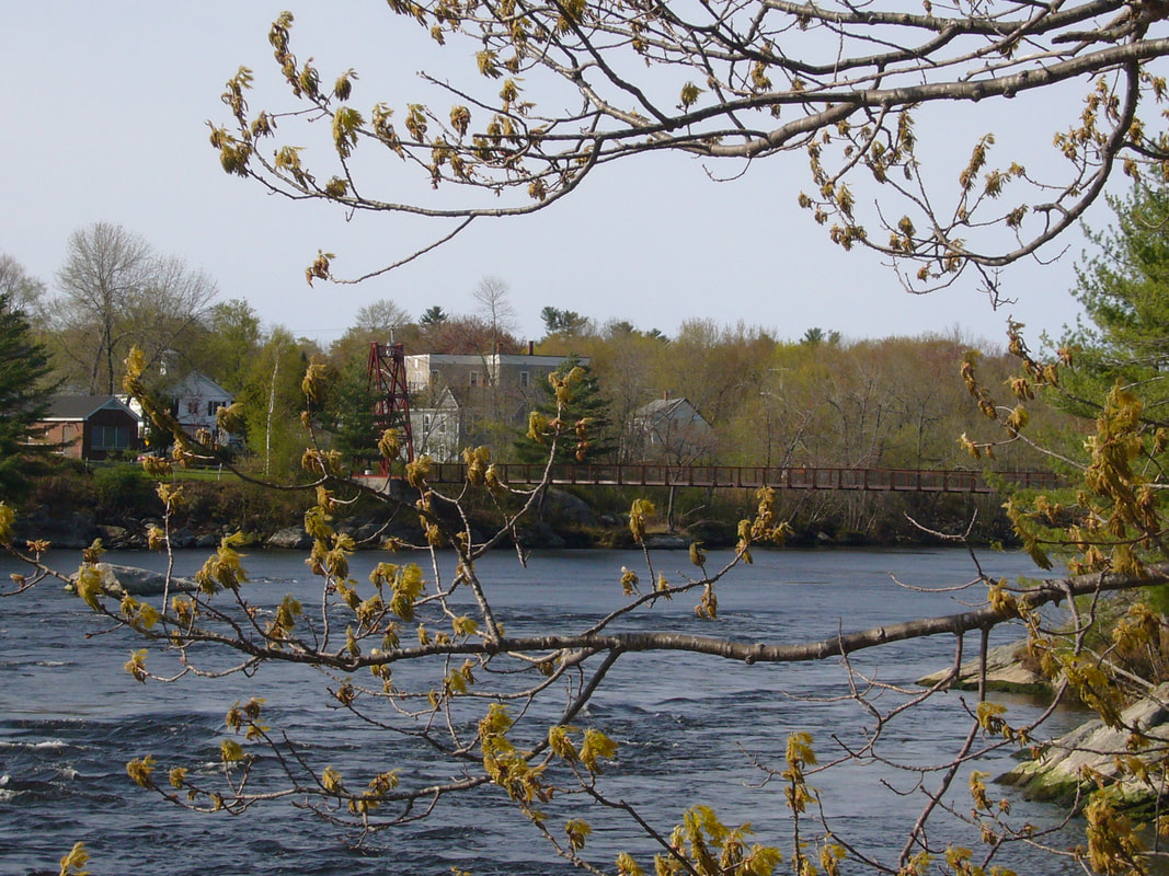
The river & Brunswick from the Topsham end of the Swinging Bridge
|
The parks and parking lots at either end were created shortly thereafter in 2007 with privately-raised funds and the support of the Towns of Brunswick and Topsham.
|
|
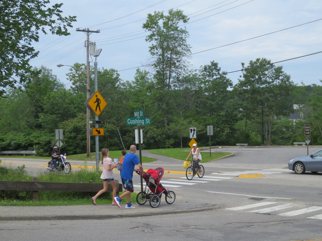
At the intersection of Cushing and Mill Streets in Brunswick, a flashing pedestrian traffic light was installed in October 2012 to provide safer pedestrian access from the NorthWest Brunswick neighborhood to the Androscoggin Swinging Bridge. |

Crosswalk at Mill & Cushing Streets
|
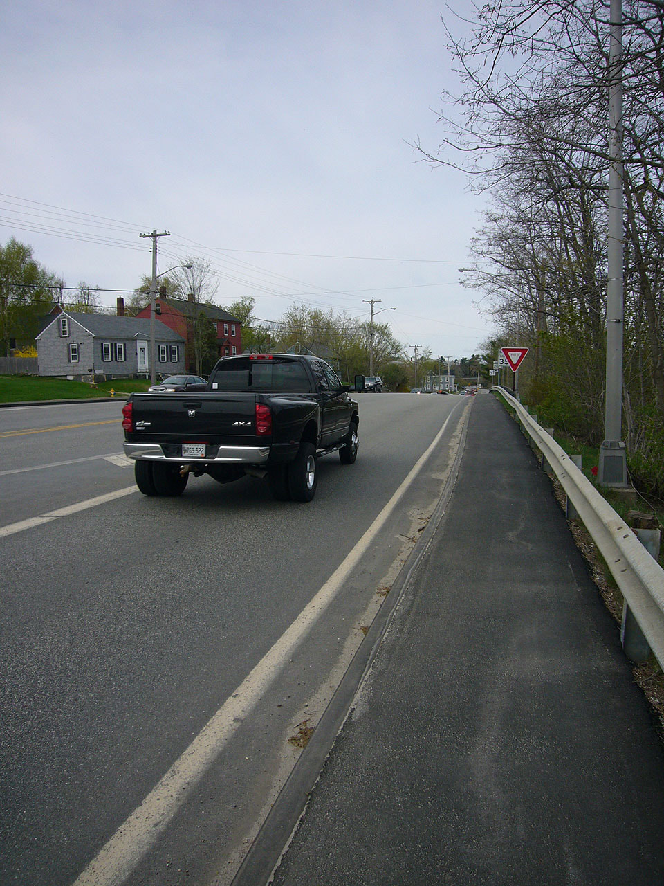
The railroad "Black" bridge
|
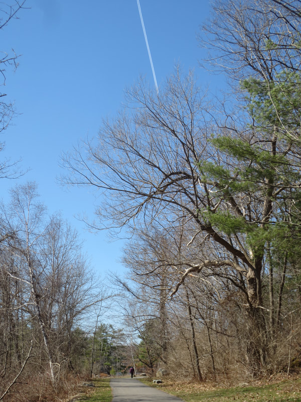
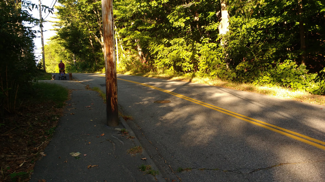
Walking from Brunswick to Topsham
|
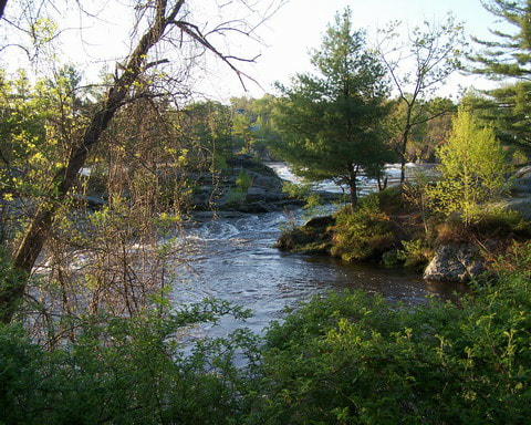
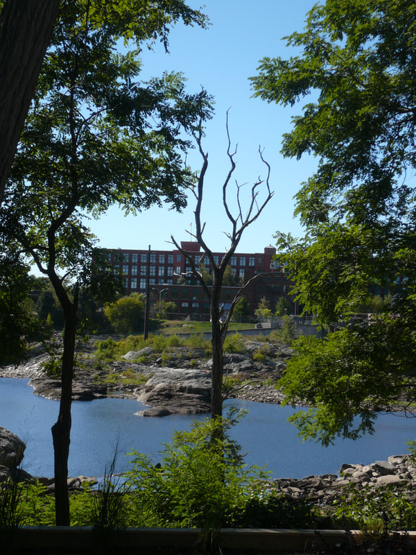
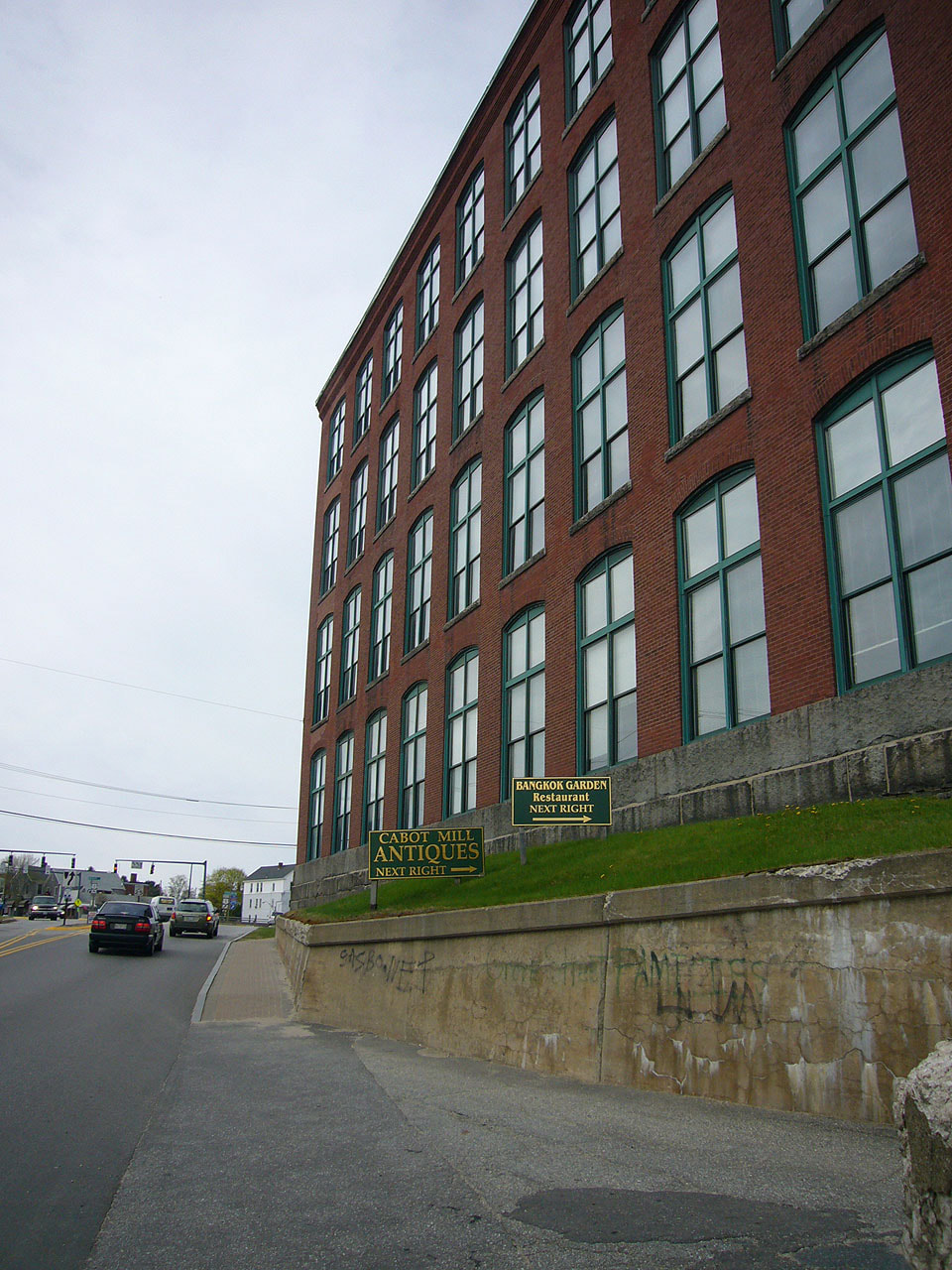
Looking downstream toward Cabot Mill
|
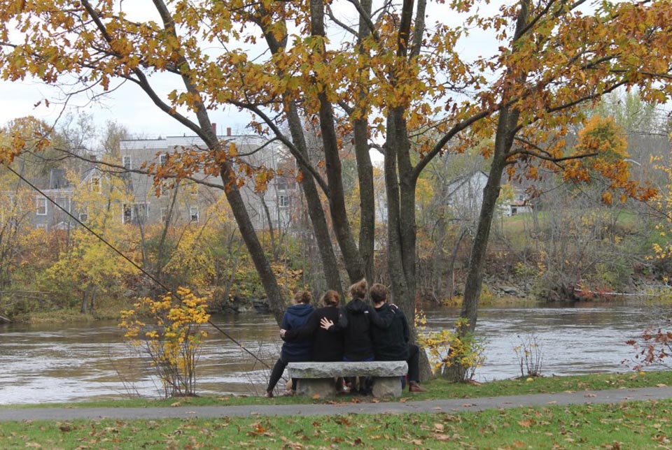
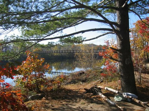
Enjoying a Fall day overlooking the river to Brunswick
|
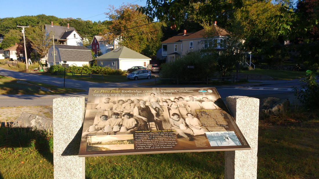
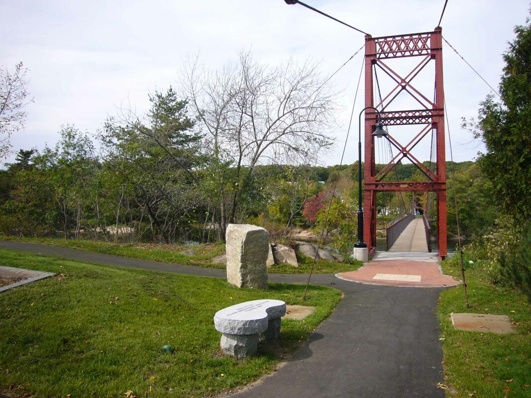
Historic Topsham Heights as seen from the park at tthe end of the Swinging Bridge
The park at the Topsham of the Swinging Bridge includes benches for quiet contemplation and and information about the history of the adjacent Topsham Heights neighborhood.
|
|

|
|
|
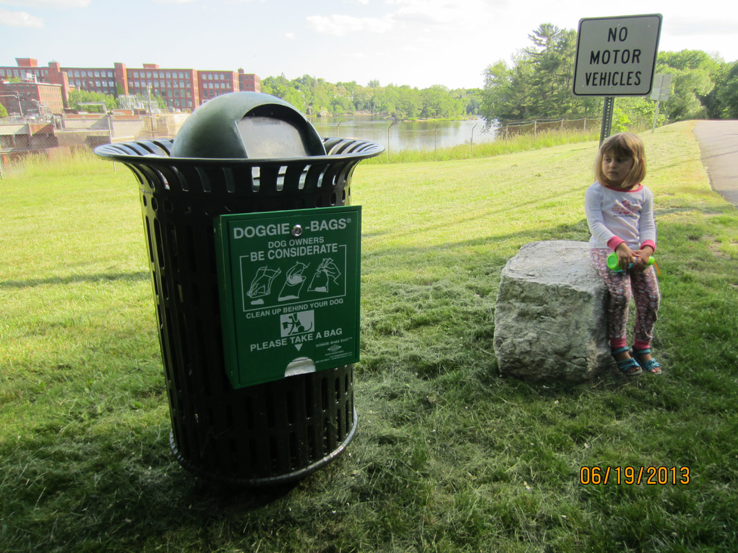
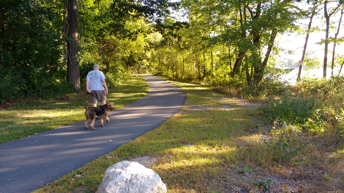
Dogs under control on leashes are welcome. Trash receptacles with dispensers for dog waste plastic bags can be found in the park by the Topsham end of the Swinging Bridge and near the intersection of the path with Summer Street. |
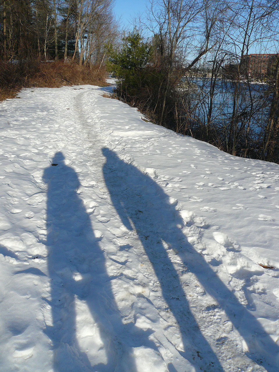
Stunning views from
the Topsham path in all seasons. (click on images to enlarge)
|
|

|
|
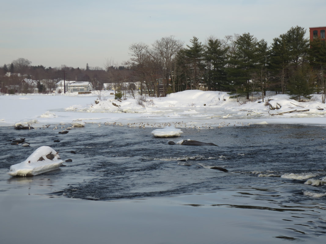
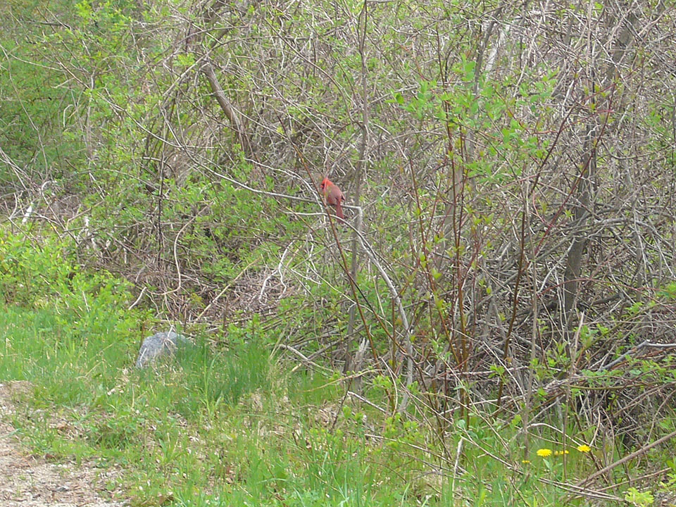
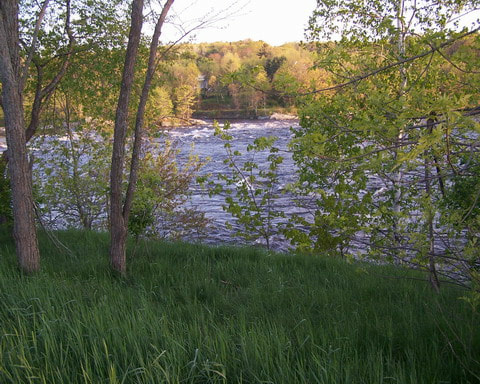
Wildlife abounds.
|

|
|
The Riverwalk emerges from the woods onto Topsham's Summer Street. Informational signage on Summer Street illuminates the history of Androscoggin river. |
|
|
|
|
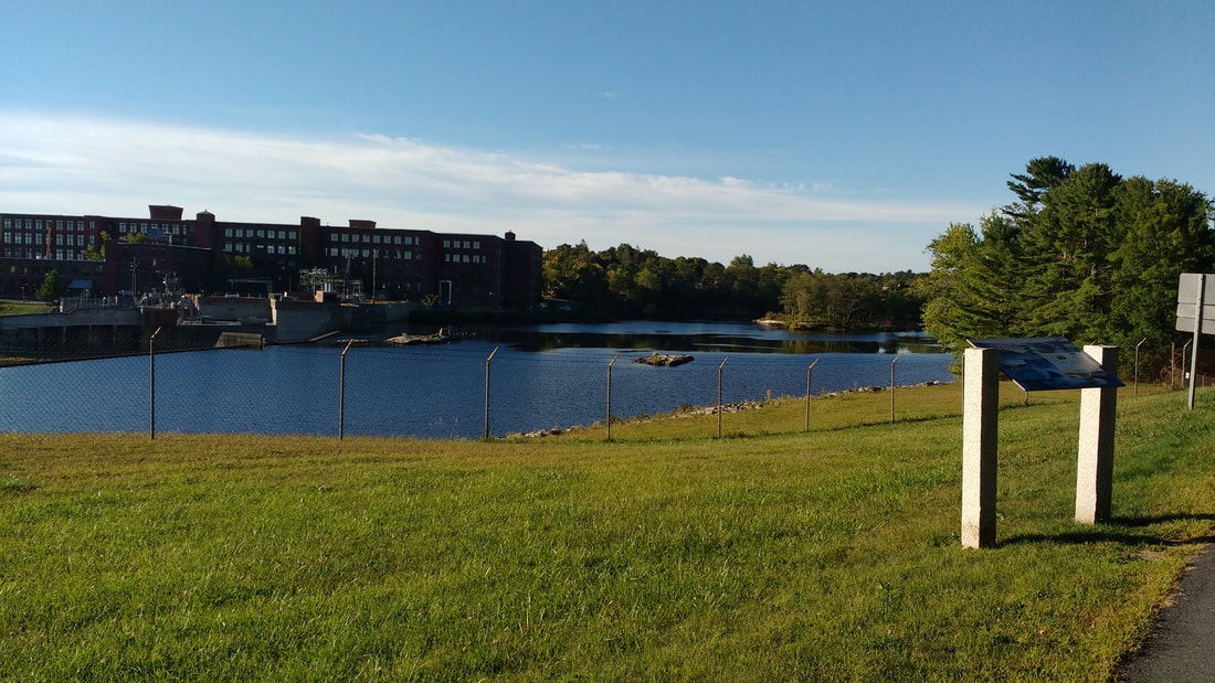
Cabot Mill from Summer Street
|
|
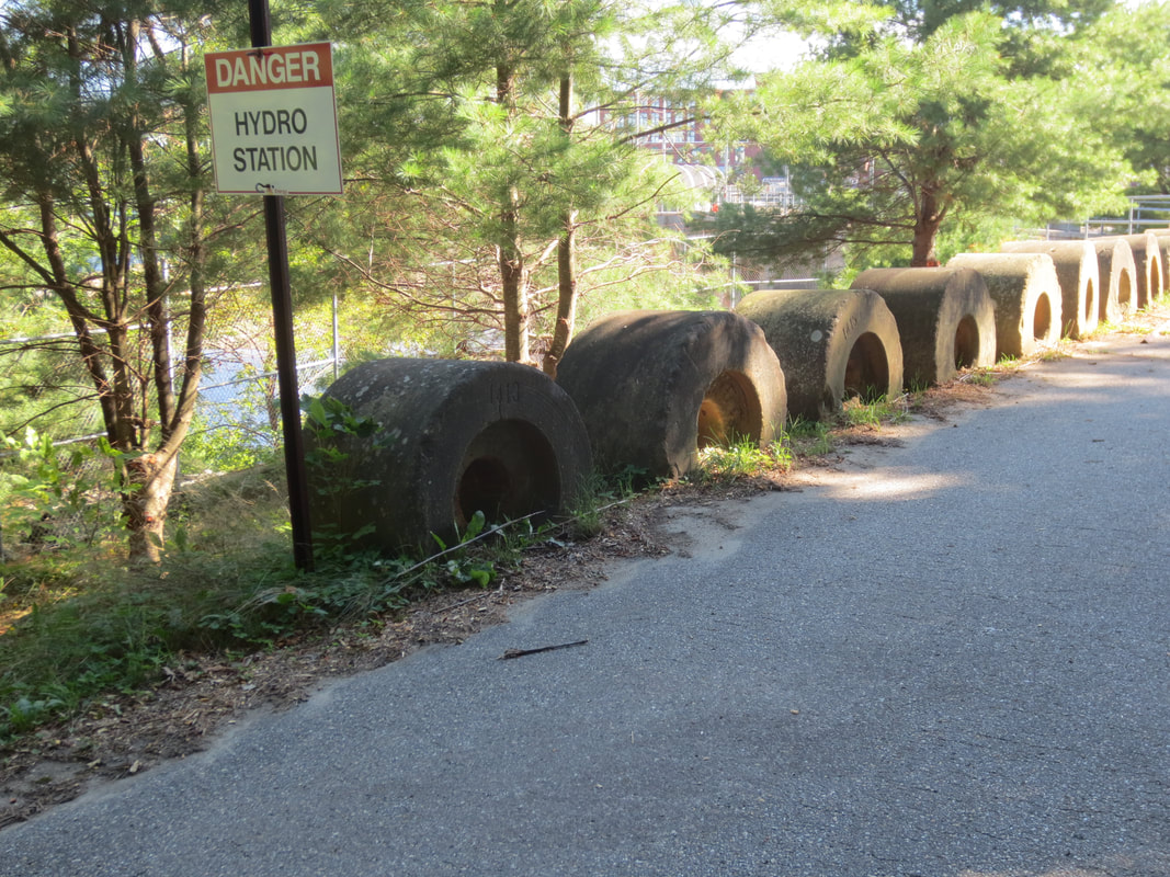
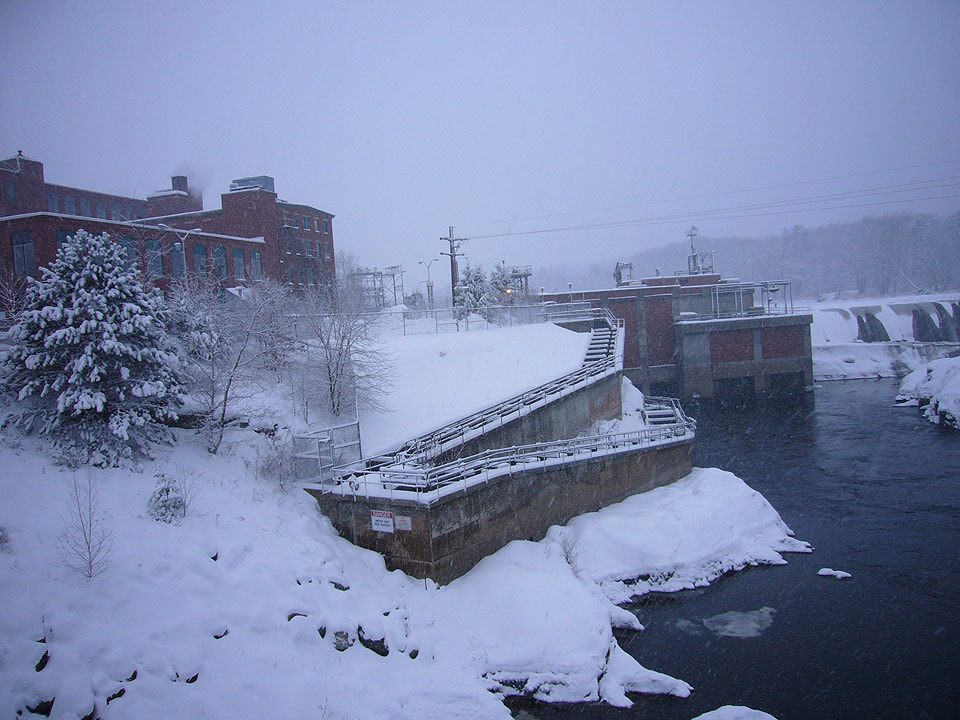
Giant stones behind dam's gates
|
|
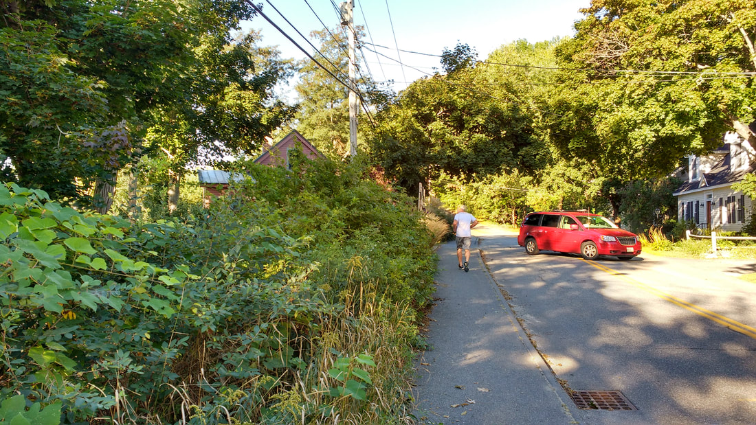
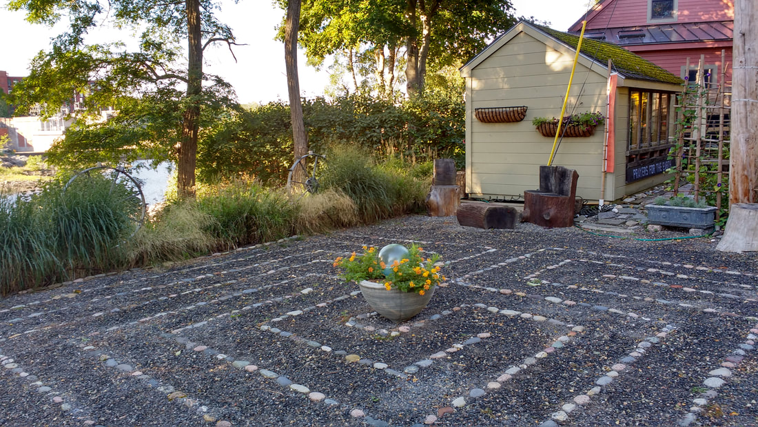
The Riverwalk passes through a residential neighborhood in Lower Topsham where a resident's labyrinth and garden with prayers for the earth provide a spot for contemplation
|

|
|
The Riverwalk currently follows the Summer Street sidewalk around the Priority Group Business Center to Main Street and the onto the Frank J. Wood Bridge over the Androscoggin River.
|
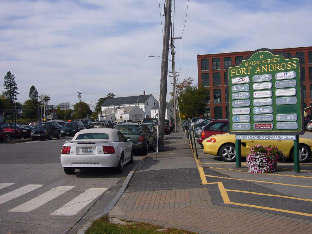
Priority Group property overlooking the river
|
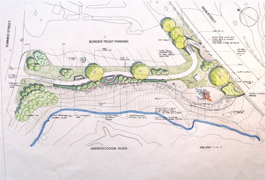
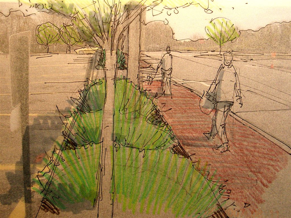
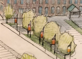
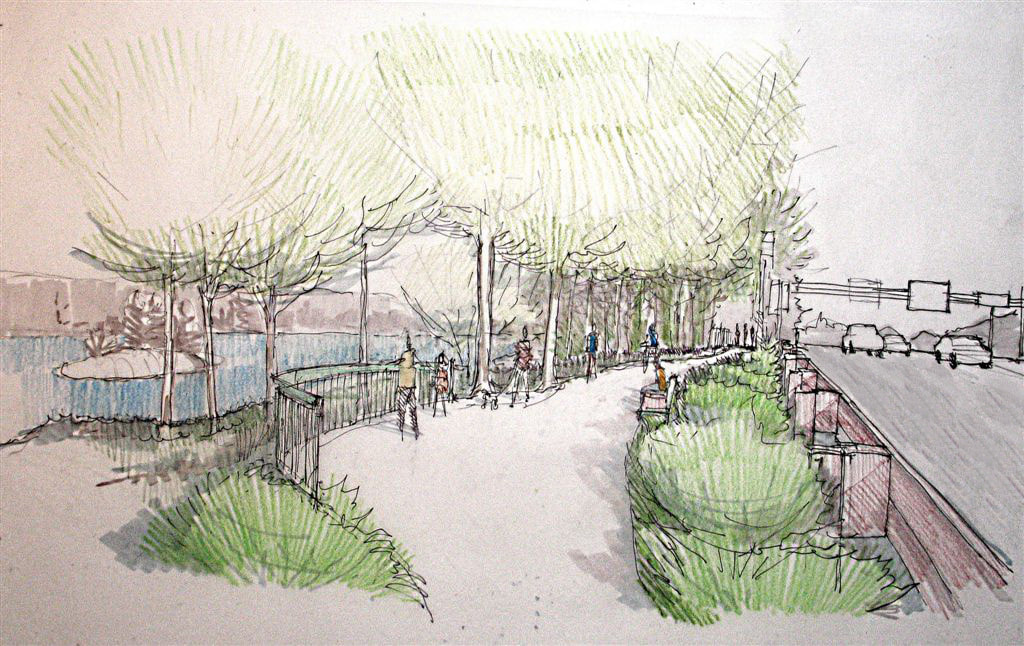
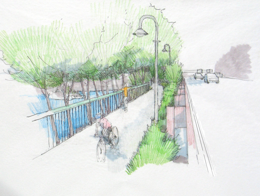
Concept design by Anthony Muench, Landscape Architect
|
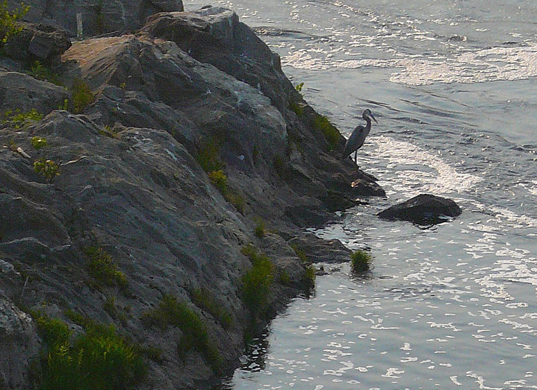
A heron waits patiently for a meal
|
Homes on Summer Street in Topham
|
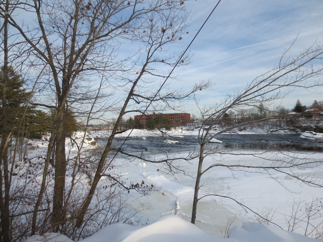
Pejepscot Mill with ice fishing shacks in the distance
|
|

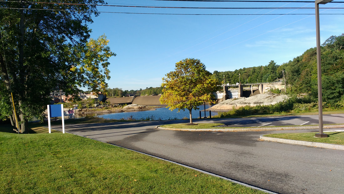
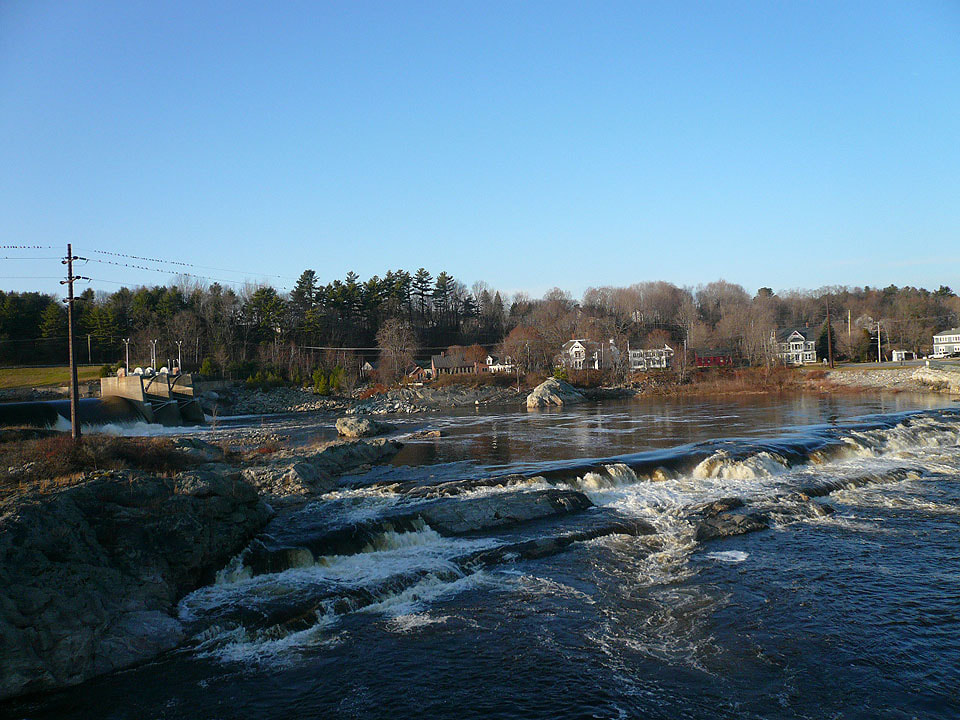
A fishway, or fish "ladder," (with a viewing station open to the public in season) guides fish over the hydro-electric dam on their trip upstream to spawn.
|

|
|
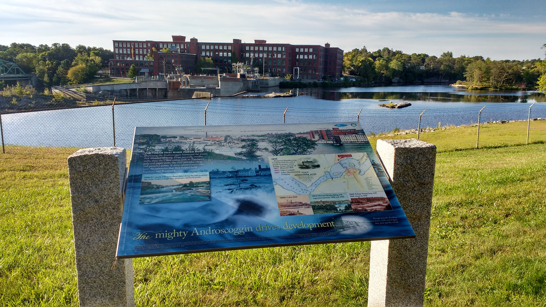
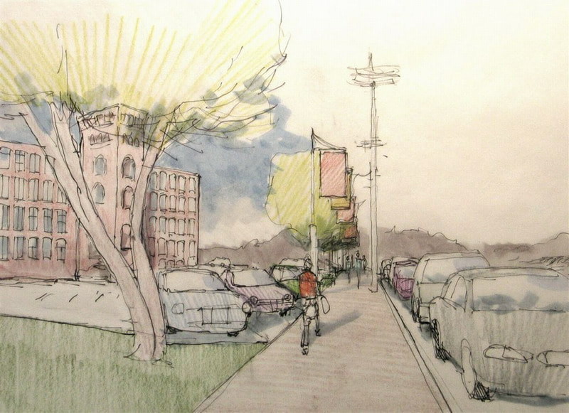
The Maine Department of Transportation, in connection with its planning for the bridge connecting Main Street Topsham to Maine Street Brunswick, is studying the areas adjacent to the bridge to improve traffic flow and safety for pedestrians and cyclists, as well as vehicles. The Maine Street sidewalk alongside Cabot Mill in Brunswick is in the study area.
|
Cabot Street at Maine Street
|

Cabot Street concept design
|
Pedestrians on Cabot Street
|
Banners on Cabot Street
|
Cyclist on Cabot Street
|
|
From Cabot Street, the concept plan has the Riverwalk briefly following Bow Street before joining Mill Street.
|

Bow Street
|

Junction of Bow & Mill Sreets
Mill Street
|
Bow Street at Mill Street
|
Overlook on Mill Street
|
Cyclist on Mill Street
|
|
|
|
|
At the intersection of Mill Street & Cushing Street,
we return to the park at the Brunswick end of the Swinging Bridge where we started this photo tour of the Androscoggin Brunswick-Topsham Riverwalk. |
|
|
|
18 Pleasant Street, Suite 522, Brunswick, Maine 04011-2201
207.721.0022 (messages only) ~ [email protected] |