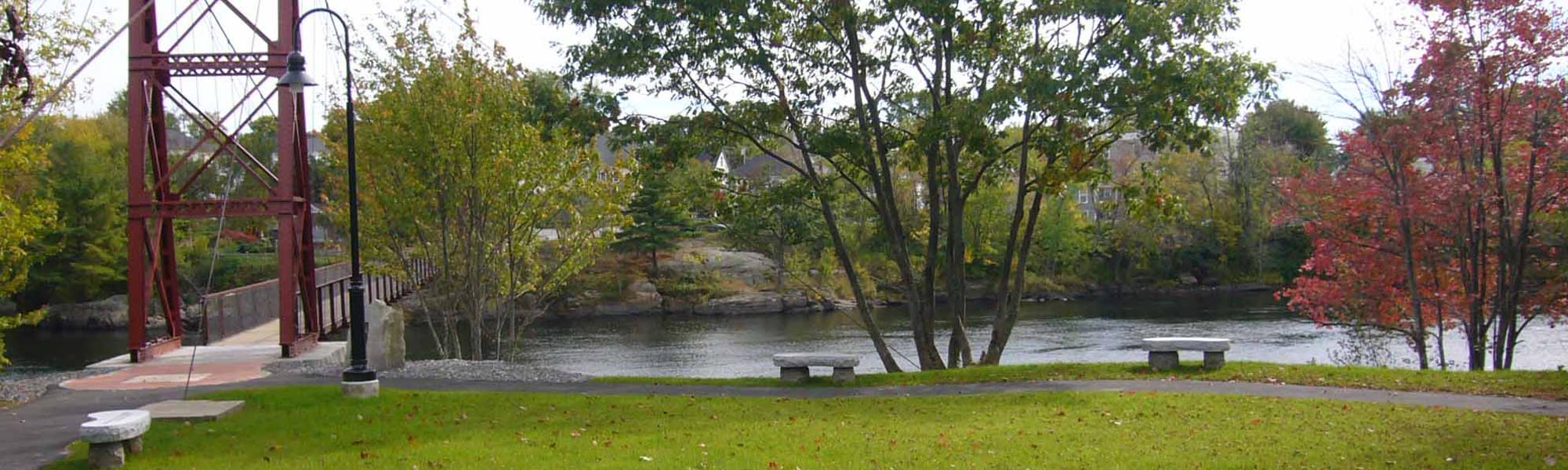
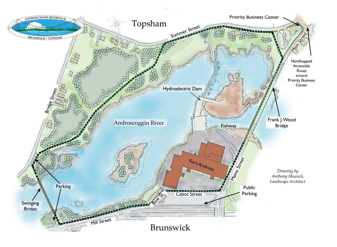
Topsham - at the end of the Swinging Bridge, off Bridge Street near Prospect Street
Topsham - Summer Street between Main Street and Mill Road
Topsham - Main Street between Summer Street and the Frank J. Wood ("Green") Bridge
Brunswick - Maine Street between the Frank J. Wood ("Green") Bridge and Fort Andross
Brunswick - Fort Andross area, including Cabot Street and Bow Street
Brunswick - at the end of the Swinging Bridge, off Mill Street near Cushing Street
Parking
Five public parking areas are especially convenient to the Riverwalk:
The Brunswick end of the Androscoggin Swinging Bridge at the intersection of Mill Street & Cushing Street
The Topsham end of the Androscoggin Swinging Bridge at the intersection of Bridge & Prospect Streets where
In Topsham on Summer Street, overlooking the river to Cabot Mill, near where the Riverwalk path through the woods emerges onto the Summer Street sidewalk.
In Topsham behind 6 Main Street with access from Summer Street.
In Brunswick in the lot across Cabot Street from Fort Andross with access from Maine Street.